Geographical Overview
|
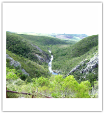
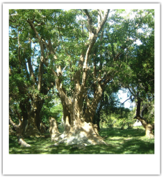
Uruguay is located South of Brazil, East of Argentina and borders the Atlantic Ocean. It is 68,000 square miles, a little smaller than Washington state. It is the second smallest South American country. The terrain is mostly low elevated rolling hills inhabited by livestock such as cows and sheep. The two main products of Uruguay are wool and meat. Uruguay’s climate allows the country to have a large agricultural industry. It is relatively mild with a low temperature of 50 degrees (Fahrenheit) and the warmest reaching 90 degrees. The land used for growing, also called arable land, comprises 10% of the country. Permanent crops, those that don't need to be replanted for long periods of time, makes up 1% of the land. The other 89% of the country is towns and cities. Planes, buses, cars and trains are used for transportation to and from these towns. These allow Uruguay to export and import needed resources. Some of the main imports are gas and oil. The health care system is strong and the majority of the population is healthy.
Hand Drawn Map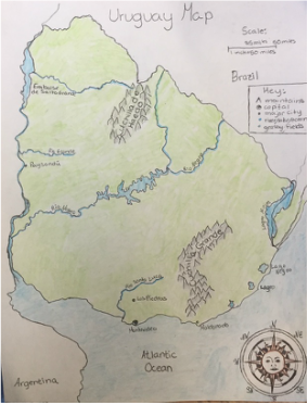
|
|